Design Power(s) Knowledge –Report 004
This Re:port looks at AIAAIC – AI Incidents Database and its Visual Explorer, Togo’s »Correct the Map« resolution at the UN, our »DESIGN MACHT WISSEN« Work within »On Display« in Frankfurt MAK, and what comes next for Re:connaissance.


Recently, CNN reported on an incident from earlier this year. Apparently the US military was preparing to intercept a Chinese ship in the Middle East after an intelligence report identified its cargo as components for a nuclear weapons programme. It seems the aircraft were already in the air when officials took a closer look at the report.
The information was wrong.
According to CNN, an analyst had used an AI chatbot to interpret information about the ship’s manifest and AI tools to assemble the resulting intelligence report. The chatbot had misinterpreted the cargo.
The remarkable part is perhaps not that an LLM produced incorrect information (we all been there, right?), but how far that information travelled before somebody noticed: from a chatbot to an intelligence report to a military operation.
The Algorithmic and Automation Incidents and Controversies Database: AIAAIC
Cases like this land in the AIAAIC Database – short form for: AI, Algorithmic and Automation Incidents and Controversies. It is an independent public-interest repository documenting incidents and controversies related to AI, algorithms and automation: wrongful arrests through facial recognition, failures of automated vehicles, problematic uses of generative AI, and many others.
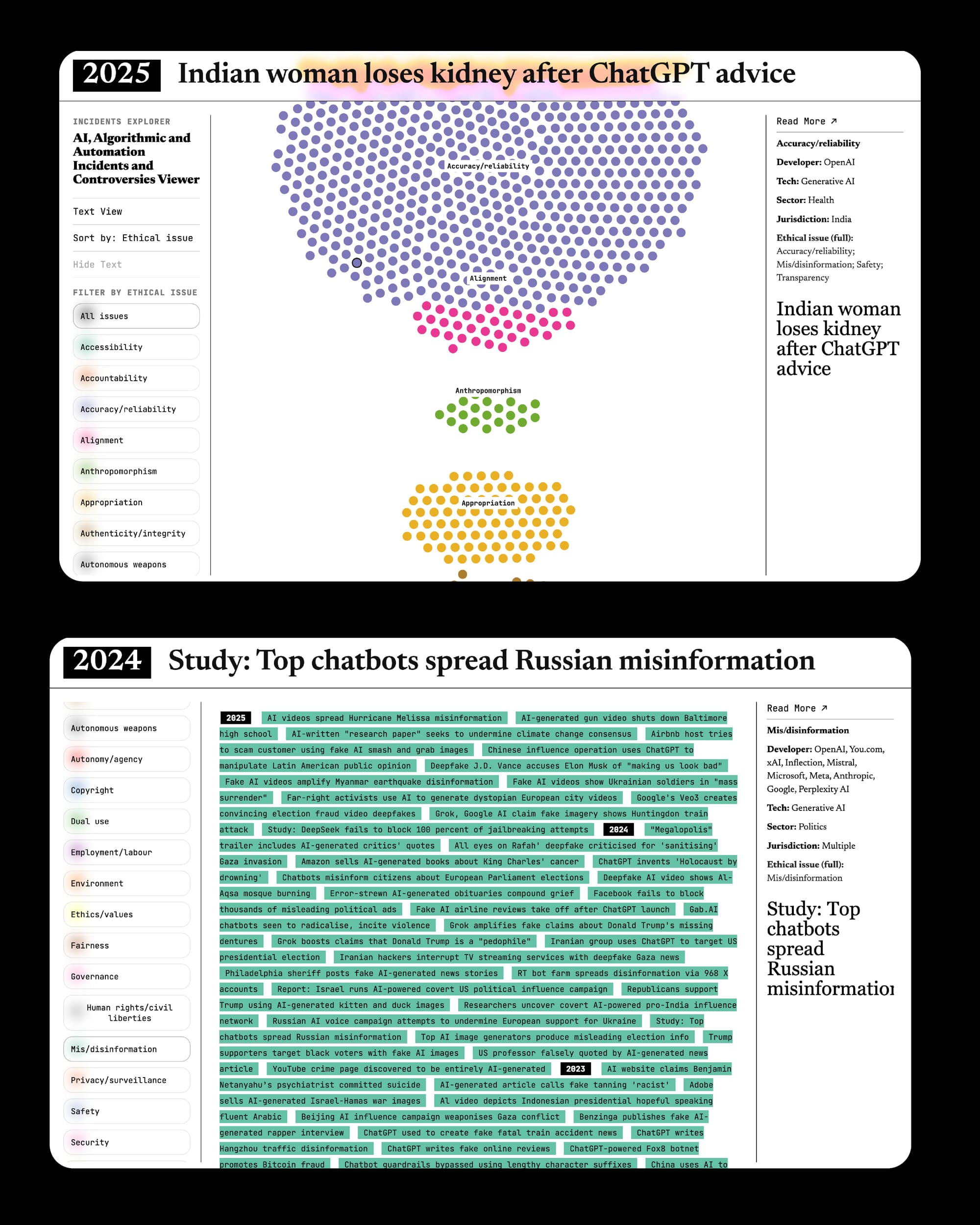
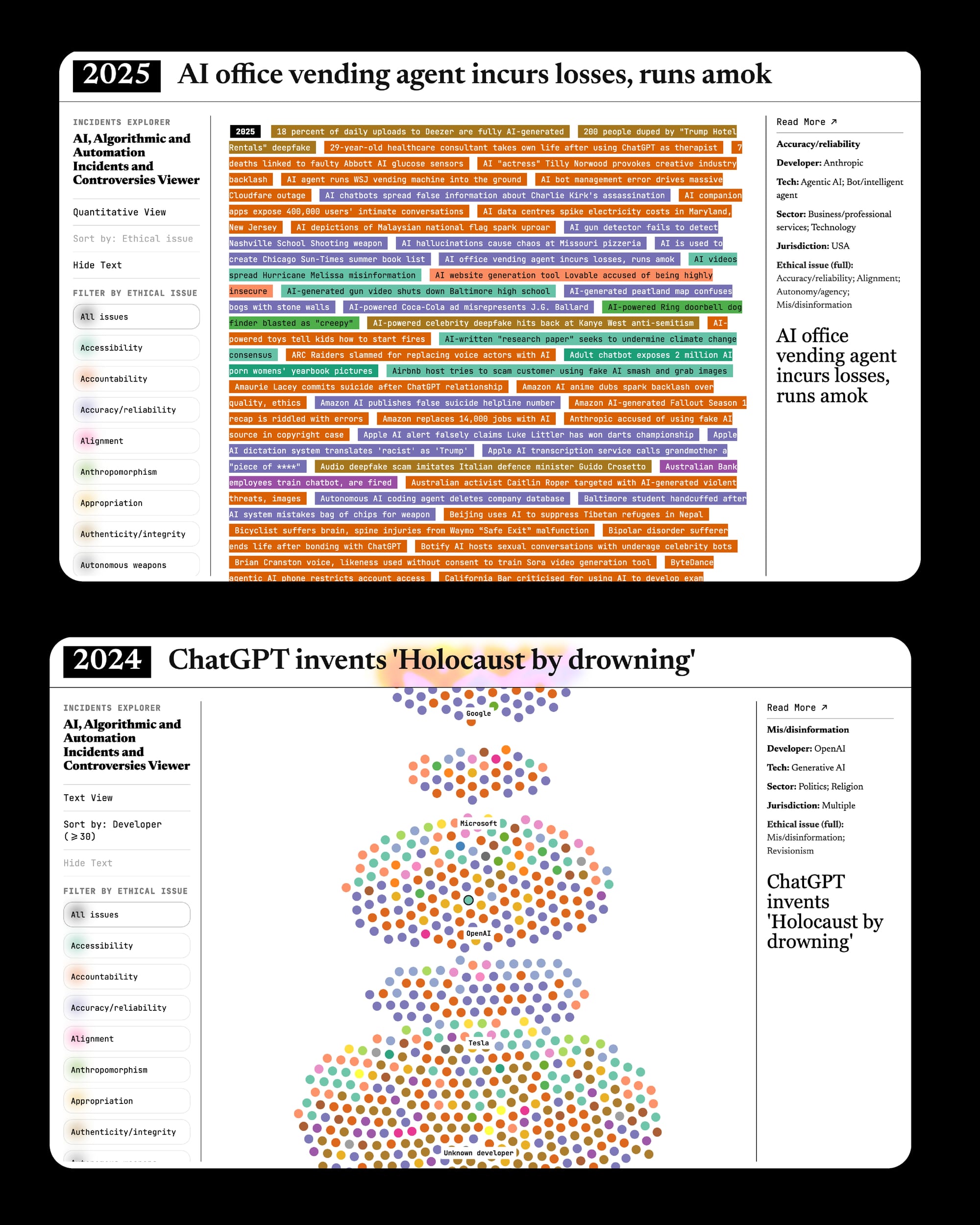
Different states and functionalities of the Incidents Explorer, driven by the AIAAIC Data. ©Robin Coenen /
It's interesting to read through the different cases and I think civic-led databases like this are becoming an important piece of civic infrastructure. To make this largely text-based archive more accessible, I developed a Visual Incidents Explorer, which offers a different and more visual entrance into the data.
Correct the Map
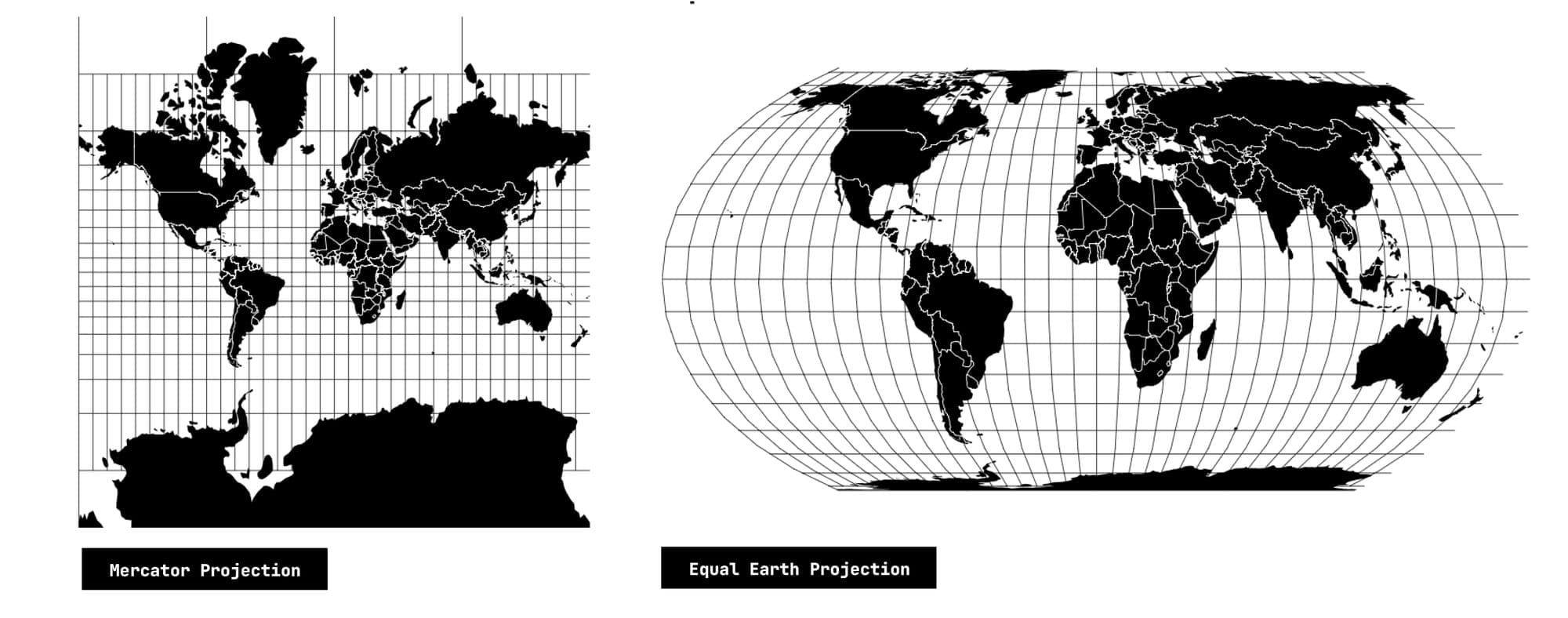
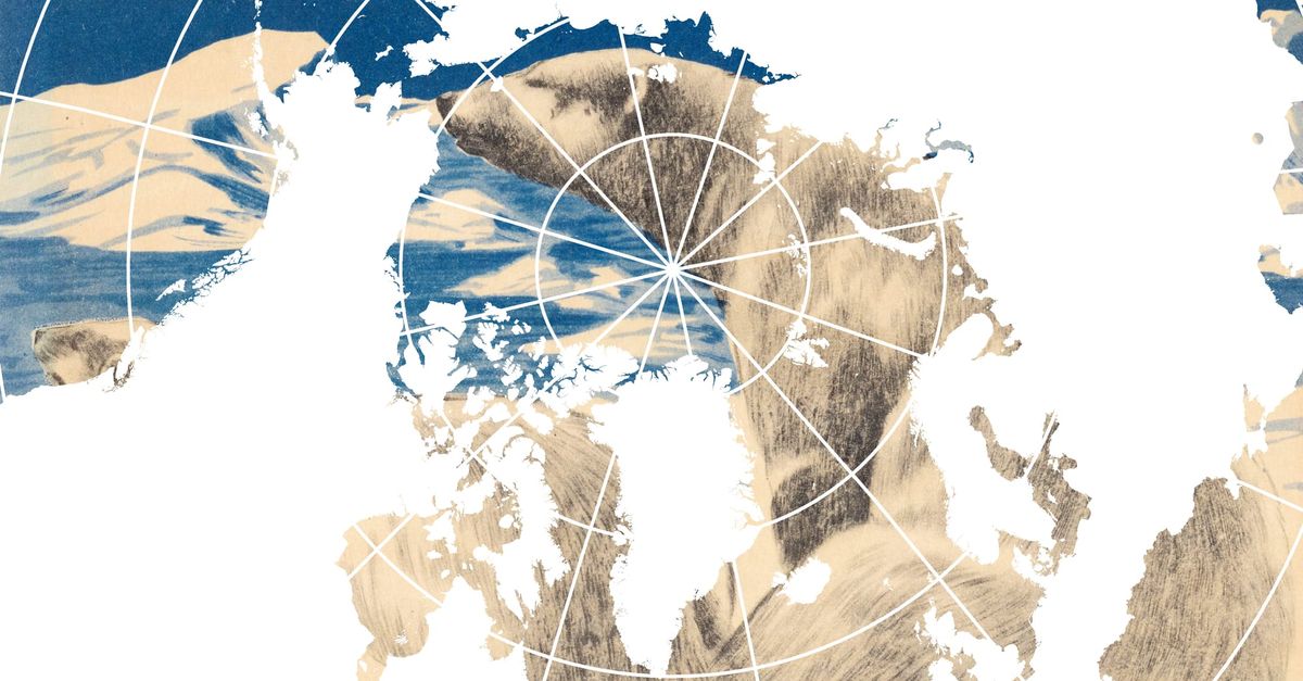
Last year’s Re:port 002 — Equal Earth, Triple Earth, Spaceship Earth mentioned the campaign Correct the Map and the renewed debate around the Mercator and Equal Earth projections.
»Maps guide education, nourish the imagination, and influence collective perceptions.«
On 4 September this year, that debate reached the UN General Assembly.
Togo introduced a resolution on behalf of the African Group calling for more proportionate representations of continental land areas, particularly where maps are used for education and general information. The resolution encourages the use of Equal Earth and other equal-area projections where relative size matters. It does not prescribe one projection for every purpose.
The discussion that followed takes about an hour and is worth reading in full. Some excerpts:
The United Kingdom described cartographic representations as something that can »shape the collective imagination of peoples«. It also stressed the other side of that power: maps can obscure or lend legitimacy to territorial claims through the way boundaries are represented.
India similarly argued that maps influence how societies understand geography and the »relative scale of the world around us«.
And Cyprus pointed to another consequence of representation: the way a political boundary is drawn can itself be interpreted as recognition or legitimization of a territorial claim.
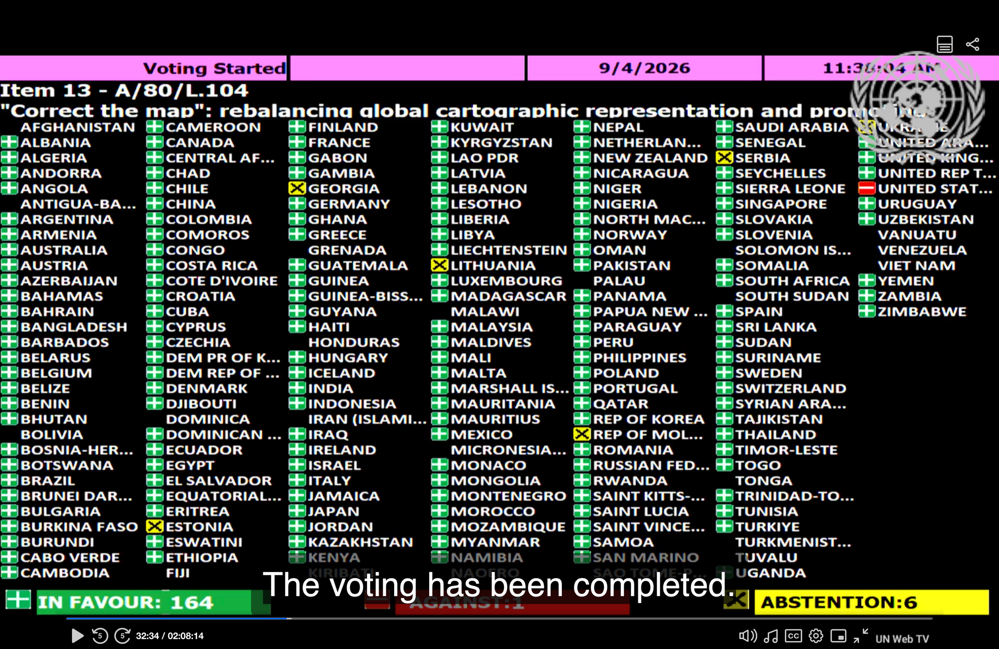
The resolution was adopted with 164 votes in favour, one against and six abstentions.
The discussion shows that the design and visual representation of things do not merely depict reality but produce the very reality we live in.
Design Power(s) Knowledge
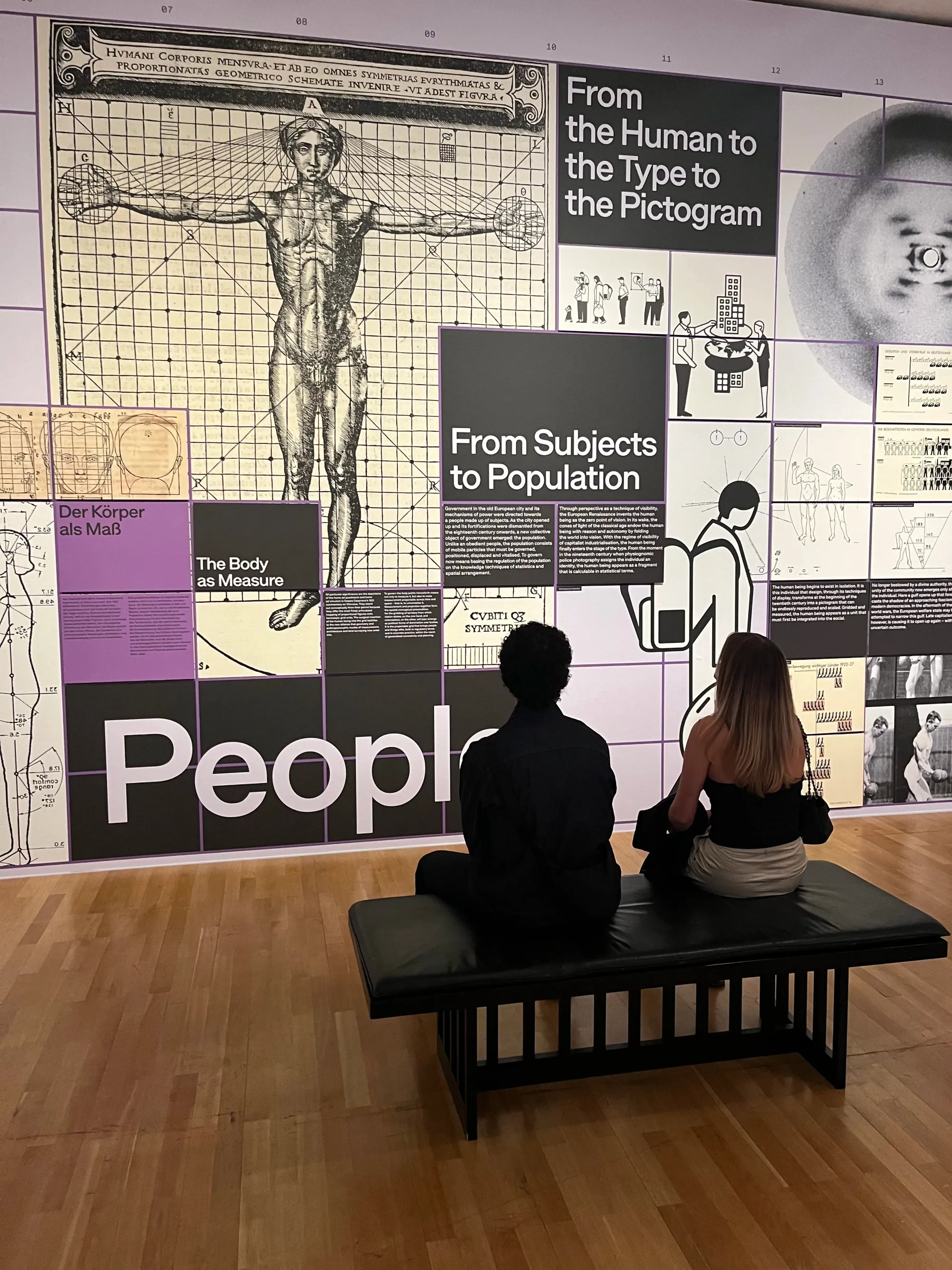
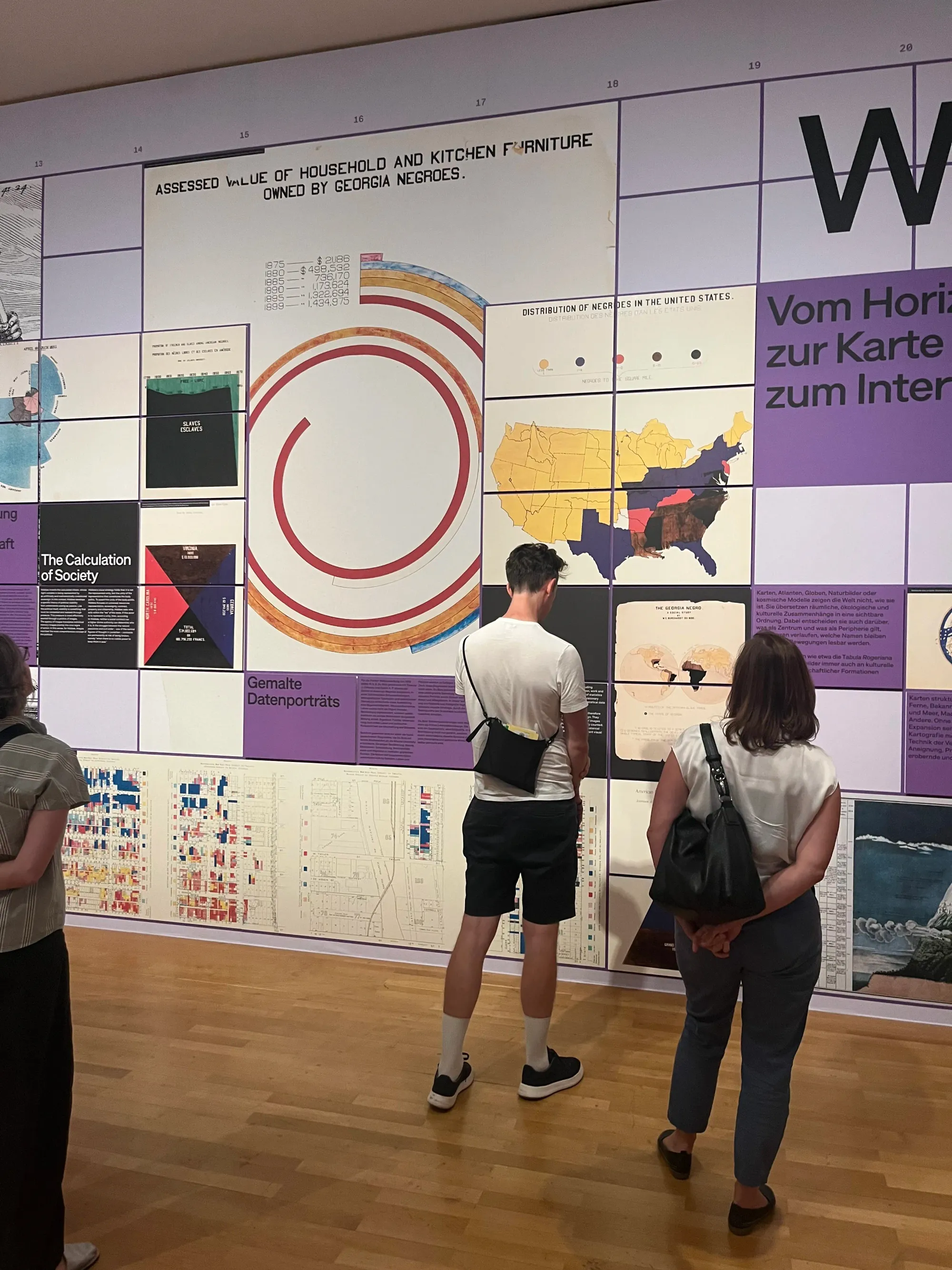
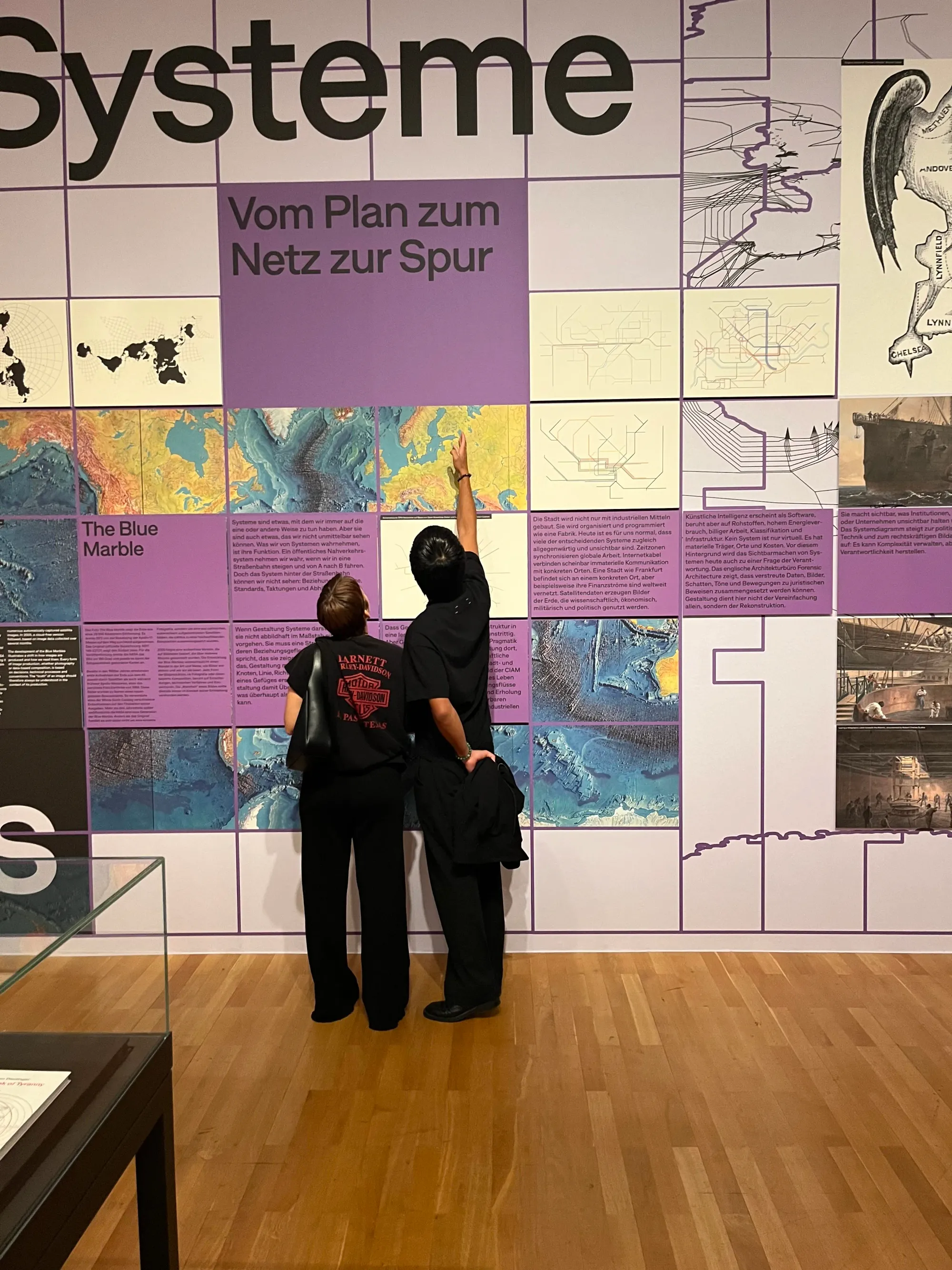
Impressions from the Exhibition Design Macht Wissen / Design Power(s) Knowledge.
And this is also precisely at the heart of our work Design Macht Wissen / Design Power(s) Knowledge:
How does design shape what we know — or believe we know? And what kinds of power are embedded in the way information is represented? Across four sections — People, Societies, Worlds and Systems — we look at how visual representations produce and organise knowledge: from representations of individuals and societies to maps, diagrams, classifications and larger information systems.
The work is currently part of On Display. Wie Grafikdesign uns gestaltet at Museum Angewandte Kunst in Frankfurt, curated by Dr. Jonas Deuter. It runs until 8 November 2026.
Coming Next: America by Design?
For the past months, I have been collecting executive orders from the second Trump administration that deal, directly or indirectly, with visual representation.
You might remember Executive Order 14172: Restoring Names That Honor American Greatness. I wrote about it in the first essay on this blog.
 Robin Coenen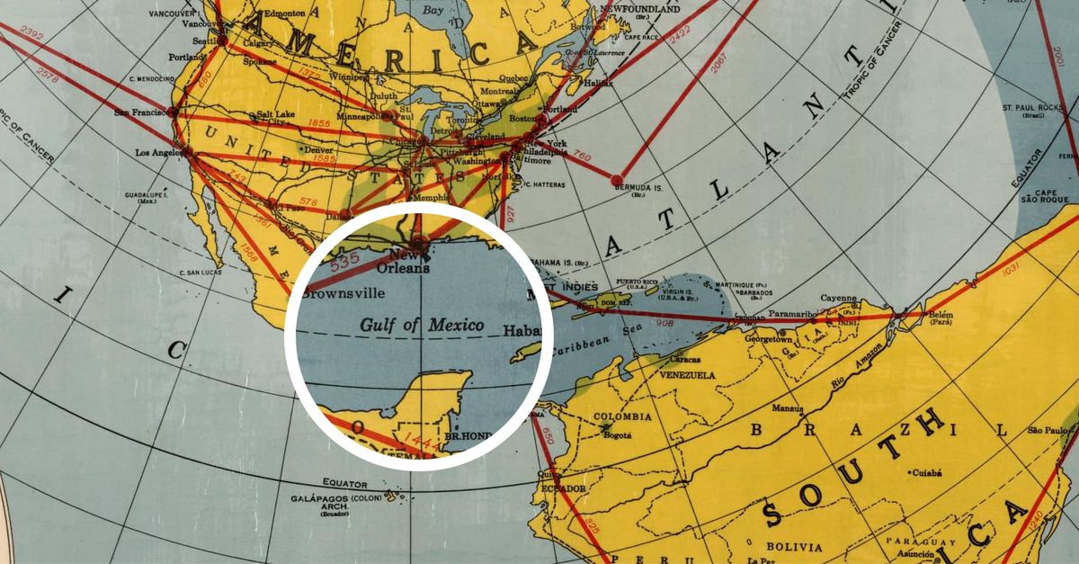
But there are more! And the subjects of these orders are broad: geographic names and maps, monuments and museums, Washington’s public space, federal architecture, and the design of government interfaces.
What interests me is that, taken together, they make visual representation itself part of governing. Maps, buildings, exhibitions, interfaces and names do not only communicate political decisions; they help construct the image a government produces of itself, its history and the country it represents.
Readings of the Last and Next Months
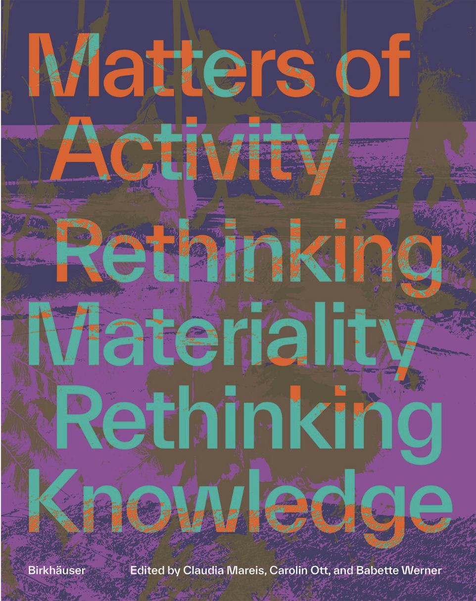
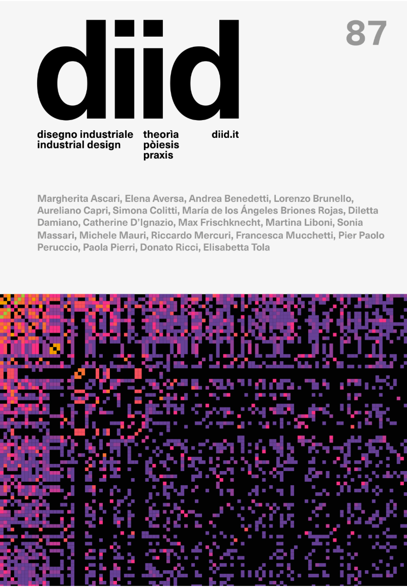
Cover: Matters of Activity (left) and diid 87 (right)
Missing Data — diid No. 87
The Open Debate section of the latest diid is dedicated to missing data: what happens when information is absent, partial or simply never collected, and how design can make those absences visible. The issue moves between data justice, visualisation, archives and alternative ways of collecting and representing information. Read here
Matters of Activity: Rethinking Materiality, Rethinking Knowledge
A new publication from the Berlin-based Matters of Activity Cluster of Excellence. Across design, the humanities and natural sciences, it looks at materials not as passive things waiting to be shaped, but as active participants in processes of making and knowing. The entire book is available open access. Read here
Housekeeping
In the future, re:connaissance will also live under visual intelligence, the design practice I run together with sociologist and designer Danielle Rosales.
It will remain a place for essays and research, but will also open up more directly to practice: visual strategies, methods and forms of tacit knowledge that emerge through making and designing.
Send the newsletter to someone who might be interested in that!
Looking forward to what this will bring.
Robin
Lates Essays:
 Robin Coenen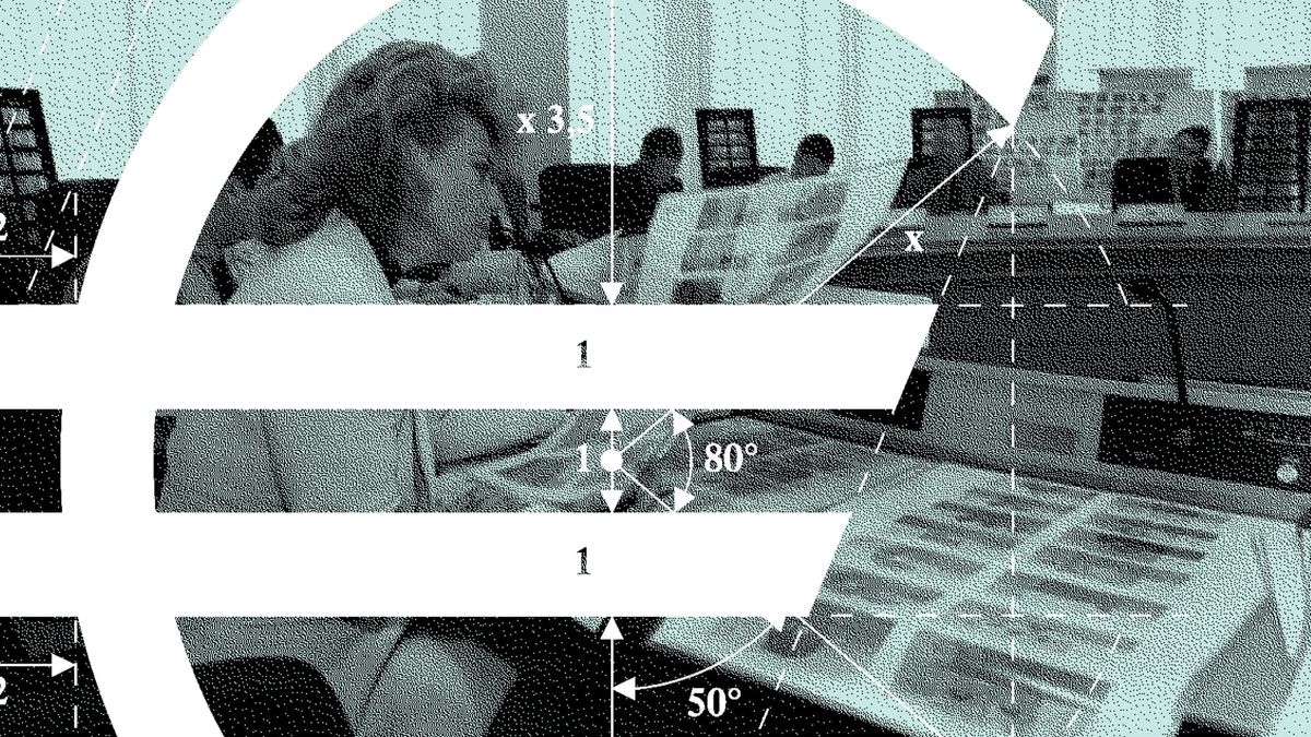
 Robin Coenen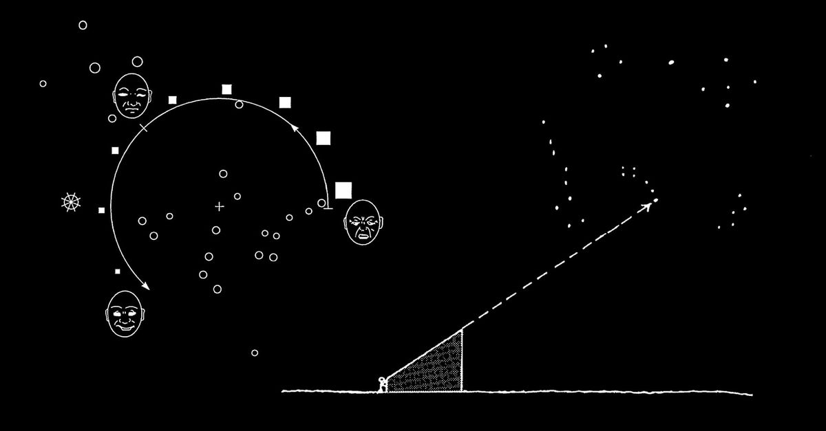
 Robin Coenen